
Accurate Data,
Better Decisions.
Professional drone mapping, modeling, inspections, and progress documentation for construction, property, and infrastructure projects across Kentucky.
ORTHOMOSAICS
3D MODELING
INSPECTIONS
PHOTOGRAPHY
PROGRESS UPDATES
Safer Access. Better Information.
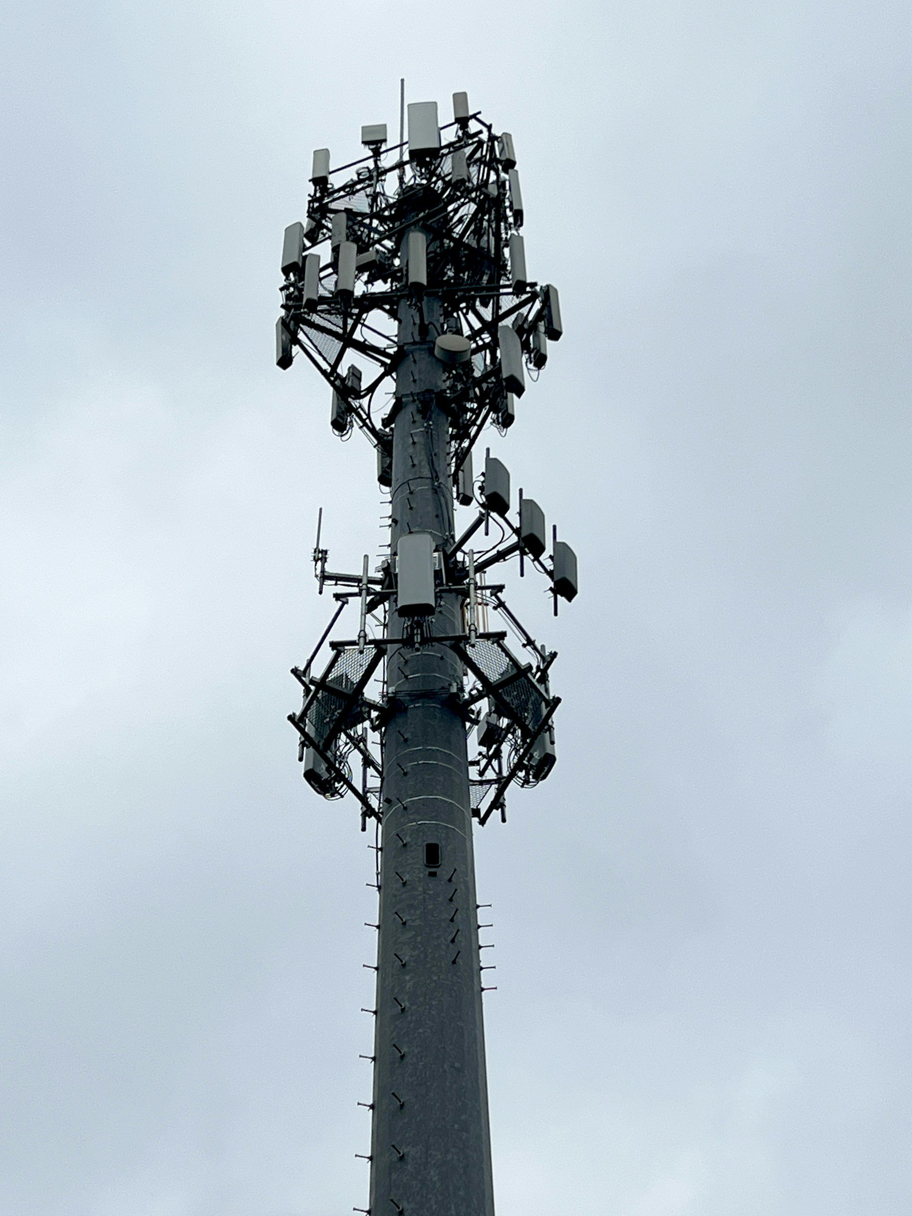
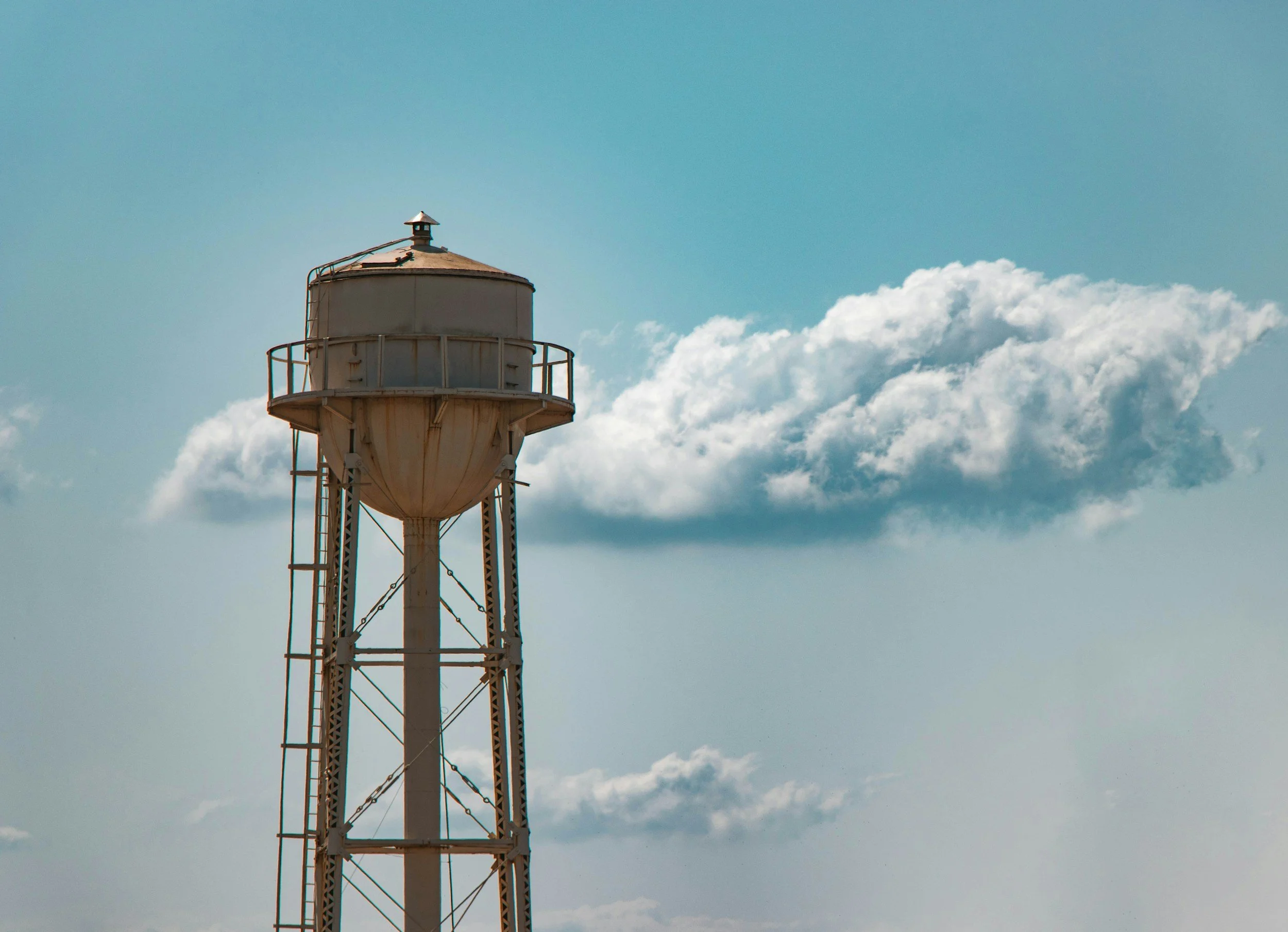
Unmanned aircraft can inspect elevated, hazardous, and hard-to-reach areas while reducing the need to place personnel near unstable structures, active equipment, traffic, steep terrain, or other jobsite risks. Clients receive clear aerial information for planning and decision-making with less exposure and less disruption on site.
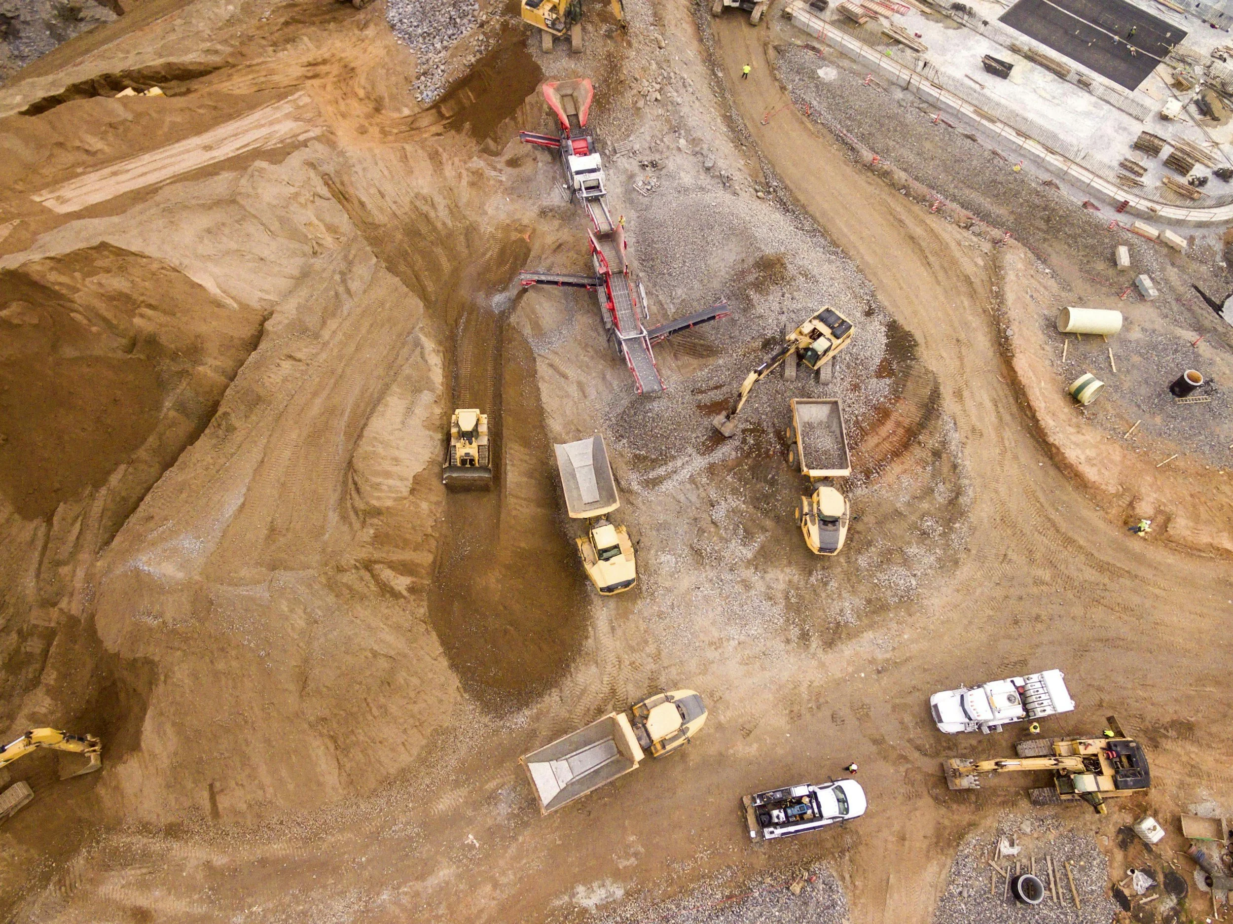
Aerial intelligence for real-world decisions. From high-resolution maps to construction documentation and inspections, Kentucky Drone Works turns aerial data into clear deliverables your team can use.
-
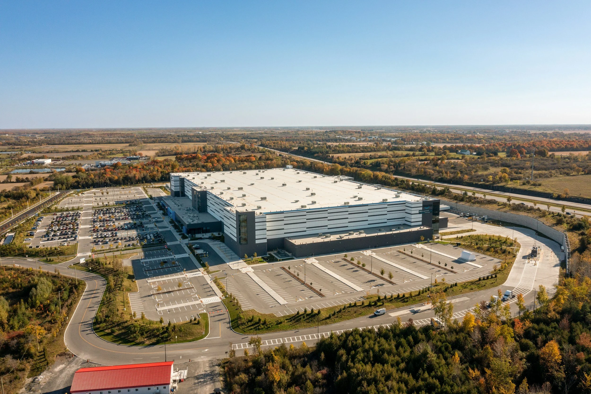
High-resolution aerial maps and site documentation that make conditions easy to review, share, and compare.
-
Repeatable flights and organized imagery that help owners, contractors, and stakeholders track progress over time.
-
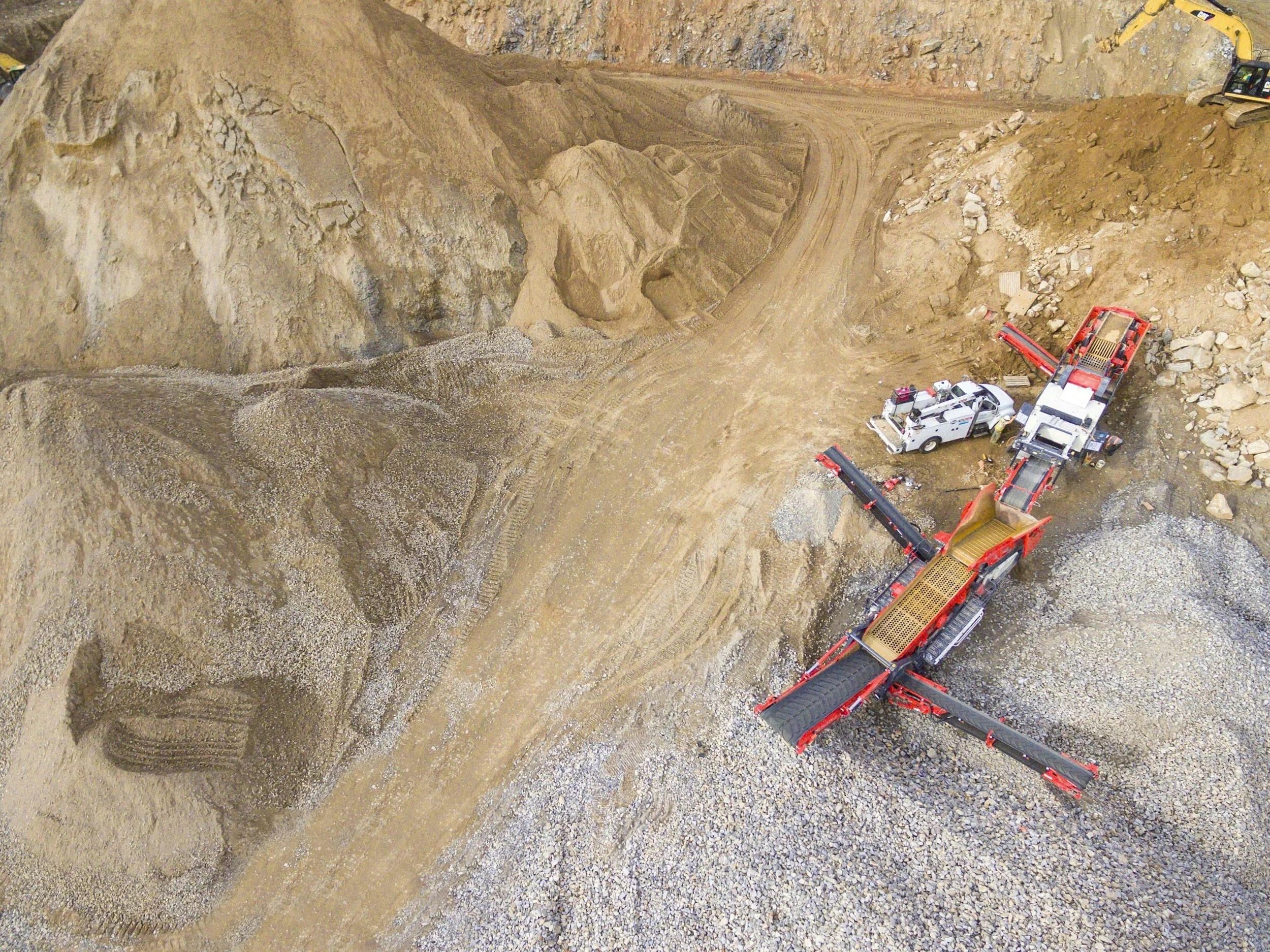
Detailed models and surface information for visualization, planning, documentation, and measurement workflows.
-
Targeted aerial inspection and custom capture plans built around the site, timeline, and deliverables your team needs.
-
Professional aerial photography and video for commercial properties, real estate listings, development sites, and marketing—captured with clean, high-quality perspectives that showcase every property clearly.

Start a ProjectTell us about your project, and we’ll help you find the right solution. We’re here to answer your questions.